| Summary |
 |
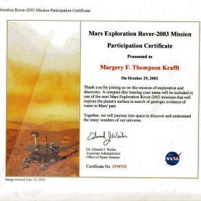
 NASA's twin robot geologists, the Mars Exploration Rovers, launched toward Mars on June 10 and July 7, 2003, in search of
answers about the history of water on Mars. They landed on Mars January 3 and January 24 PST, 2004 (January 4 and January
25 UTC, 2004). NASA's twin robot geologists, the Mars Exploration Rovers, launched toward Mars on June 10 and July 7, 2003, in search of
answers about the history of water on Mars. They landed on Mars January 3 and January 24 PST, 2004 (January 4 and January
25 UTC, 2004).
The Mars Exploration Rover mission is part of NASA's Mars Exploration Program, a long-term effort of robotic exploration
of the red planet.
Primary among the mission's scientific goals is to search for and characterize a wide range of rocks and soils that hold
clues to past water activity on Mars. The spacecraft are targeted to sites on opposite sides of Mars that appear to have been
affected by liquid water in the past. The landing sites are at Gusev Crater, a possible former lake in a giant impact crater, and Meridiani Planum, where mineral deposits (hematite)
suggest Mars had a wet past.
After the airbag-protected landing craft settled onto the surface and opened, the rovers rolled out to take panoramic images.
These images give scientists the information they need to select promising geological targets that tell part of the story
of water in Mars' past. Then, the rovers drive to those locations to perform on-site scientific investigations.
These are the primary science instruments carried by the rovers:
- Panoramic Camera (Pancam): for determining the mineralogy, texture, and structure of the local terrain.
- Miniature Thermal Emission Spectrometer (Mini-TES): for identifying promising rocks and soils for closer
examination and for determining the processes that formed Martian rocks. The instrument is designed to look skyward to provide
temperature profiles of the Martian atmosphere.
- Mössbauer Spectrometer (MB): for close-up investigations of the mineralogy of iron-bearing rocks and
soils.
- Alpha Particle X-Ray Spectrometer (APXS): for close-up analysis of the abundances of elements that make
up rocks and soils.
- Magnets: for collecting magnetic dust particles. The Mössbauer Spectrometer and the Alpha Particle X-ray
Spectrometer are designed to analyze the particles collected and help determine the ratio of magnetic particles to non-magnetic
particles. They can also analyze the composition of magnetic minerals in airborne dust and rocks that have been ground by
the Rock Abrasion Tool.
- Microscopic Imager (MI): for obtaining close-up, high-resolution images of rocks and soils.
- Rock Abrasion Tool (RAT): for removing dusty and weathered rock surfaces and exposing fresh material
for examination by instruments onboard.
Before landing, the goal for each rover was to drive up to 40 meters (about 44 yards) in a single day, for a total of up
to one 1 kilometer (about three-quarters of a mile). Both goals have been far exceeded! Where are the rovers now?
Moving from place to place, the rovers perform on-site geological investigations. Each rover is sort of
the mechanical equivalent of a geologist walking the surface of Mars. The mast-mounted cameras are mounted 1.5 meters(5 feet)
high and provide 360-degree, stereoscopic, humanlike views of the terrain. The robotic arm is
capable of movement in much the same way as a human arm with an elbow and wrist, and can place instruments directly up against
rock and soil targets of interest. In the mechanical "fist" of the arm is a microscopic camera that serves
the same purpose as a geologist's handheld magnifying lens. The Rock Abrasion Tool serves the purpose of a geologist's rock
hammer to expose the insides of rocks. |